3 schoolsKindergarten to grade 12
Clayton Elementary, Clayton Heights Secondary and Ecole Salish Secondary all sit
within the neighbourhood, so the school run never needs the car.
Parks on every sideClayton and Provinceton
Clayton Park's fields and courts to the northeast, Provinceton's playground to the
southwest, and the greenbelt trails threading between them.
Under constructionThe SkyTrain is coming
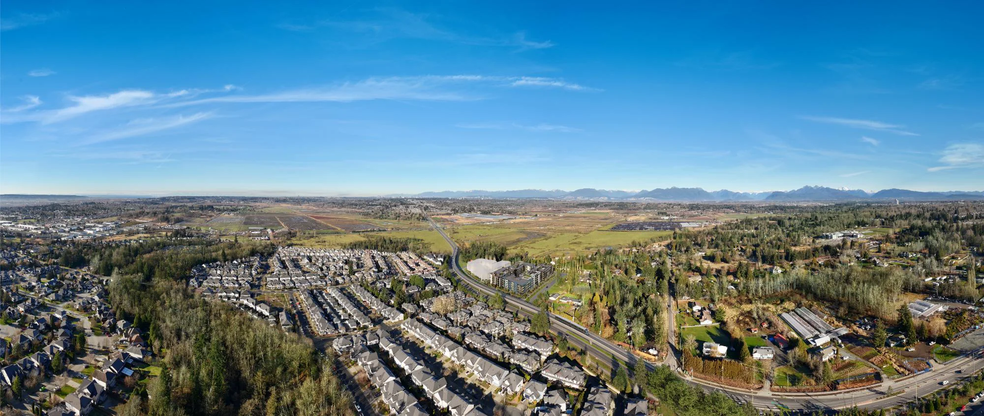
The Surrey Langley extension is being built along Fraser Highway now, with the
184 Street station a short ride from the front door. Buy before the line opens,
not after.
5Minutes on foot to the shops at Clayton Crossing
3Schools inside a fifteen minute walk
2Neighbourhood parks within a few streets
2029Surrey Langley SkyTrain opening on Fraser Highway